|
Noss
Mayo Peninsula
|
Starting
point and OS Grid reference:

Warren
National Trust car park (SX 541466)
|
Ordnance
Survey Map
OL
20 - South Devon Brixham to Newton Ferrers.
Buy this map from
List
of OS Maps
Note: If you use OS Maps on-line, you can download this route via this
link.
| |
Distance: 9 miles
| |
Traffic light rating:

(For explanation see My
Walks page)
| |


For advice on .gpx files see
My
Walks page
|

Click
the PDF logo above to give a printable version of this walk without the
photos.
|
To
view route as a dynamic Ordnance Survey map click here.
Introduction: This walk is probably one
of the easiest you could wish for. You could comfortably push a child’s
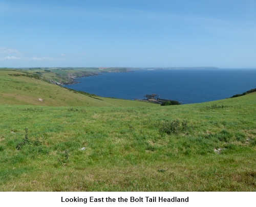
buggy round it. However, it still provides extensive coastal views and takes
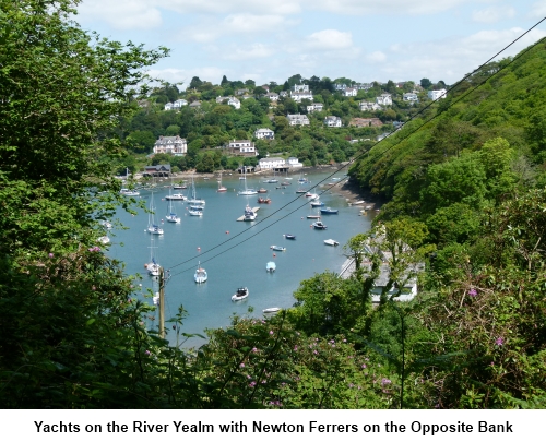
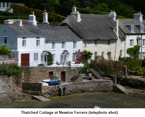
in the unbelievably attractive village of Noss Mayo on the river Yealm and
its big sister Newton Ferrers across the River Yealm. The route follows the
Revelstoke Drive, a nine mile track built in the 1880s by Lord Revelstoke so
he could impress his visitors
with a spectacular carriage ride. The route is therefore wide and flat for a
large part. Indeed, the most difficult part of the walk is finding the
start!
Start: This starting point is at
the Warren National Trust car park (honesty box) (SX
541466). To get there, turn off the A379 between Modbury and Yealmpton
signposted to Holbeton and Battisborough. There is a brown tourist sign for
the Dartmoor Union Inn. After turning off, stick to the “main road”
keeping straight ahead and follow the road through Battisborough Cross and
ultimately a dead end road to Netton and Worswell. The usual green on silver
National Trust sign for The Warren is at the entrance to the car park. There
is also a finger post at the entrance “Public Footpath Link to Coast
Path” and another which says “Warren Cottage and Coast Path” Go
through the gateway and link up with the coastal path, turning right (west)
(SX 538465).
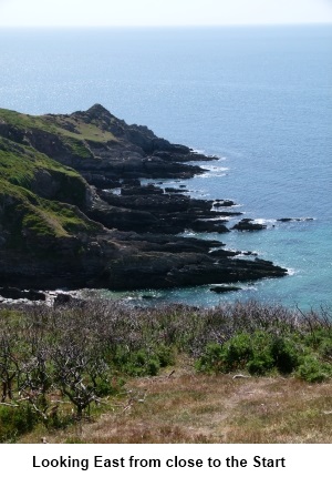
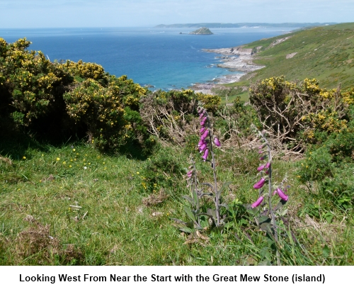
Follow the broad stony
track past a footpath post for Blackstone Point and continue to Warren
Cottage (SX 536466). The public footpath route goes through the gate to
Warren Cottage but an alternative path round the perimeter is signposted.
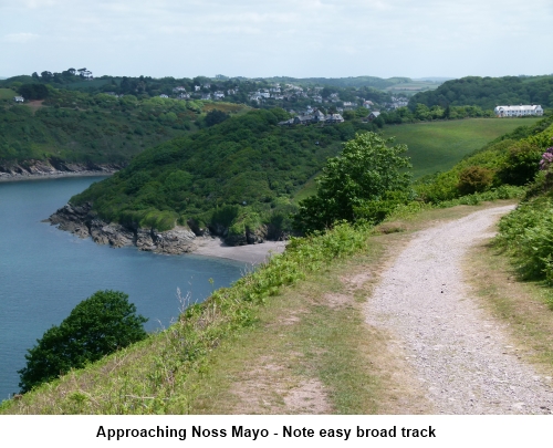
It is impossible to go
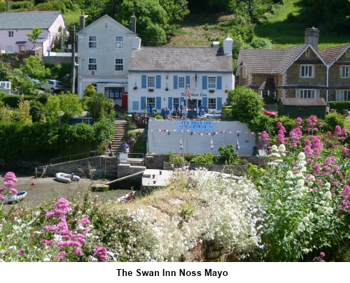
wrong. Just stay on the track until you get to Noss Mayo.Once there, follow
the road around the creek passing the Ship Inn and then, via Creekside Road,
the Swan Inn (which at the time of my visit had a banner with my favourite
three words for a pub “Open All Day”!). Depending on the state of the
tide, you may be able to take a shortcut across the creek on a narrow
causeway.
Follow the creek round and
ignore the footpath on the right close to the church. As you reach Junket
Corner at the “Stop” sign, turn left (SX 552478). You come to a footpath
sign on the right at Three Corners opposite a house with wooden shingles on
the roof and you can take this route if you want to shorten the walk back to
the coast but otherwise carry straight on along the road. You are looking
for a tarmac lane on the right opposite the end of a row of stone cottages
just before the 30 MPH sign (SX 555481). Go up here past Bridge End House.
At the top of the slope, as
the tarmac runs out at the entrance to a house, turn left on the footpath.
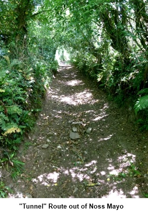
It is a sunken lane under a tunnel of trees. As you come out of the
“tunnel”, turn left. You pass the property Great Prideaux on the left at
which point the lane becomes tarmaced. Continue to its end and turn right (SX
537476).
At the ‘T’ junction
continue straight ahead over the stile (SX 574472) and at the coastal path,
turn right.
Pass the entrance to
Revelstoke Park (caravans). The coastal path is again broad and level. Pass
a sign for St Peters Church and ignore the first footpath post indicating a
car park to the right as this is not where you are parked. Pass an old
lookout building and what looks like an old quarry and ahead of you is a
wall on the cliff top which you walked along at the start of the walk. Climb
a stile by a locked gate (with a dog gate to the left) and climb the gentle
slope. As you reach the top of the slope, turn sharp right by the footpath
post indicating the car park path back to your start point.
If
you need to buy any hiking equipment/clothing before your trip see the Hiking
Store.
All information on this
site is given in good faith and no liability is accepted in respect of any
damage, loss or injury which might result from acting on it.
|


.jpg)
.jpg)
.jpg)